On these interactive maps based on the Assetino platform, citizens of Prague can easily find locations of the nearest recycling bins, where and when large dumpsters will be placed, and where to dispose of hazardous waste.
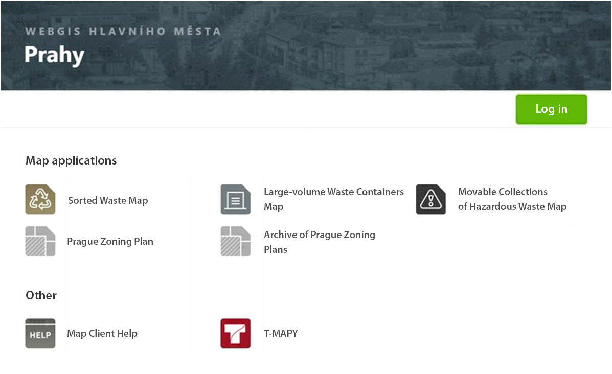
All three map applications are accessible via the Municipal Authority’s map portal. Individual city districts have these apps at their disposal to be published on their own web pages. Other waste management related maps will be created in the future.
Recycling Bins Maps
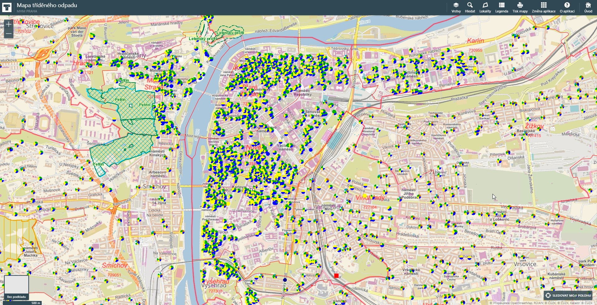
Each location is colour-coded in order to indicate which type of waste may be disposed of there. After clicking on the selected location, detailed information is displayed – how often containers are collected, type of container, and whether it is accessible to the public. The application includes both public waste containers as well as non-public containers which serve residents of a specific building exclusively.
Large-volume Waste Containers Map
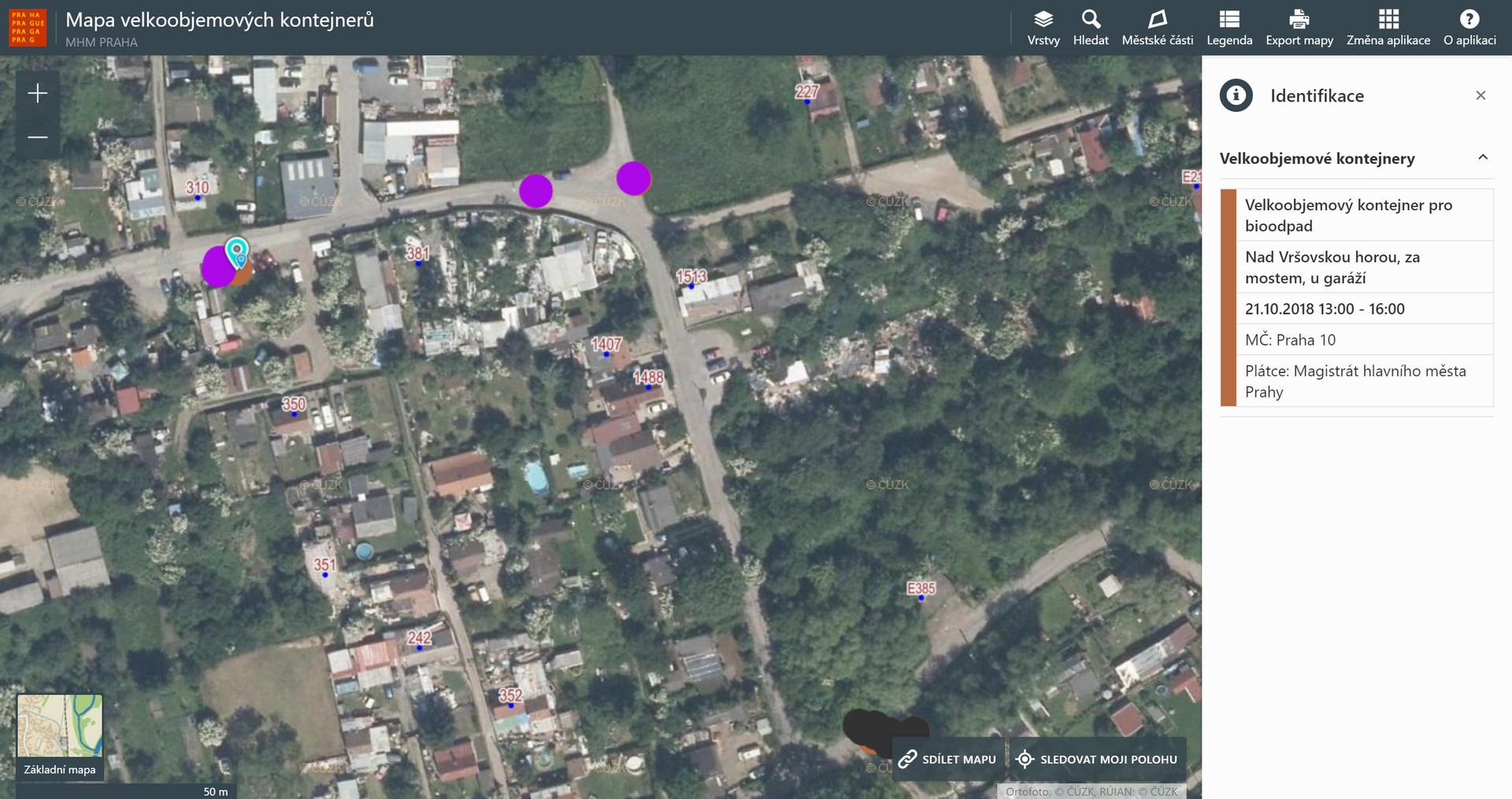
Thanks to the interactive map of LWC, Prague’s citizens can easily find out where and when these containers will be available to them. After clicking on a particular map symbol, an information panel will pop up with a description of container type (mixed waste/biowaste) as well as dates× during which the container will be accessible.
As the application includes over 7,000 items, a special map layer was created to simplify navigation in such large amounts of data. It shows locations where containers will be placed in the upcoming seven days.
Map of Movable Collections of Hazardous Waste
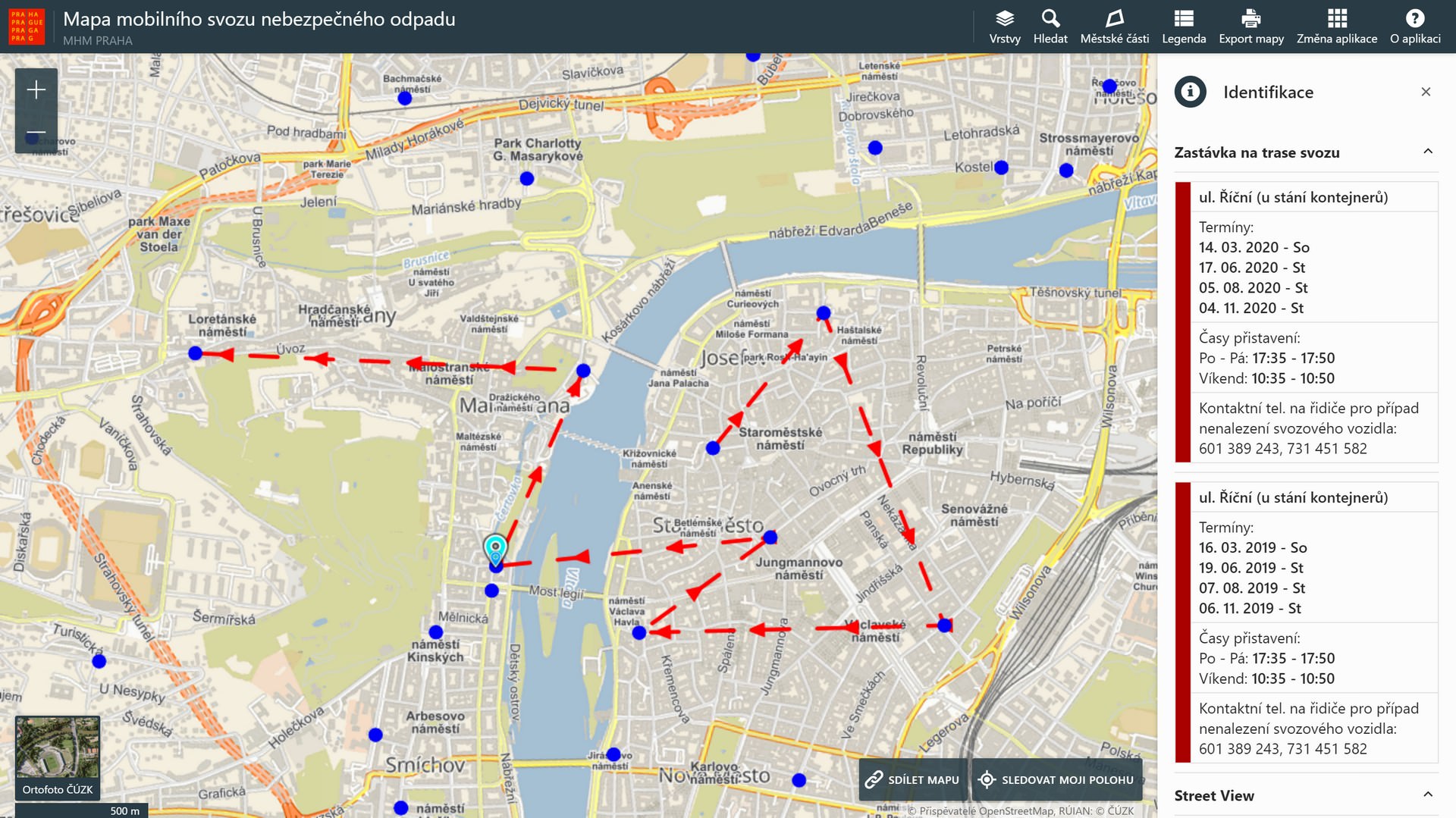
Depending on selected map layers, users can display either all collection routes within the boundaries of the city of Prague or the routes where the movable waste collection will take place in the upcoming 30 days.
Technical Solution
Contracting authority
Municipal authority of the City of Prague
Contracted provider
T-MAPY ltd.
Contracting authority
The public
Main requirements
The system framework for the applications is delivered by I-MEDIA company – it facilitates internal management of the system which is also linked with waste collection financing. The Assetino Waste Management application from T-MAPY company provides tools for data publishing in well-organized maps, including search and filtering mechanisms and geometric data editing tools. A map layer is created for each topic which allows users to toggle the selected topic on/off.
The interface of public map applications is designed with regard to maximum clarity and intuitiveness. All map applications allow users to work with map layers (toggling selected topics on/off), search by address, or change of the background map (basic map/aerial image).
Reference
Our goal was to provide Prague’s residents with comprehensible information on waste management, and thanks to T-MAPY, this was achieved with an excellent result. Three map applications were created during the first phase of the project: Sorted Waste Map, Large-volume Container Map, and a Map of Mobile Collections of Hazardous Waste. The applications have a very attractive design, are well-organized and easy to navigate. That’s very important since they are intended for the general public. At the same time, it is a modern and technically advanced solution which makes daily tasks easier for us, the system administrators.
The great set-up cooperation with T-MAPY continues – currently, we are collaborating with them on other map applications which will address the internal needs of the municipal office.


