T-MAPY, company behind award winning Assetino solutions, together with the GEOtest company, is working on a project which supports the implementation of a regional strategy by using GIS data in Moldova. The entire project has shifted into its second half both time-wise and process-wise, and we are happy to share the results it has achieved so far.
The first trip we undertook was in the fall of 2018. Since then, we have visited Chisinau and its surrounding regions several times. We were able to analyze the situation in SDI (Spatial Data Infrastructure) by conducting a complex survey.
We addressed 90 institutions in total; these included all ministries as well as most government organizations, scientific institutions, universities, and non-government organizations. Our goal was to evaluate the current expertise and technical background as well as identify existing geodata in Moldova. We found that basic geodata was of excellent technical quality, yet if updates are not ensured, the data cannot be used as a reference for follow-up thematic data. Currently, the pillar grasped in the most complex way from conceptual, legislative, as well as the implementation point of view includes metadata, the geoportal, and network services.
On the other hand, the competence and development of human resources represent one of the weakest aspects of the current situation. The high fluctuation of qualified workers, their insufficient numbers in public administration, and a lack of a lifelong education system paralyze many activities, including the integration of the geoportal and the open data portal. Regarding thematic data, we evaluated its condition, type of distribution, and compliance with standards, and we conducted an assessment of needs and of interest in missing spatial information.
We fused all of this information together into a demonstration of a simple map application and into our EDAS metainformation system.
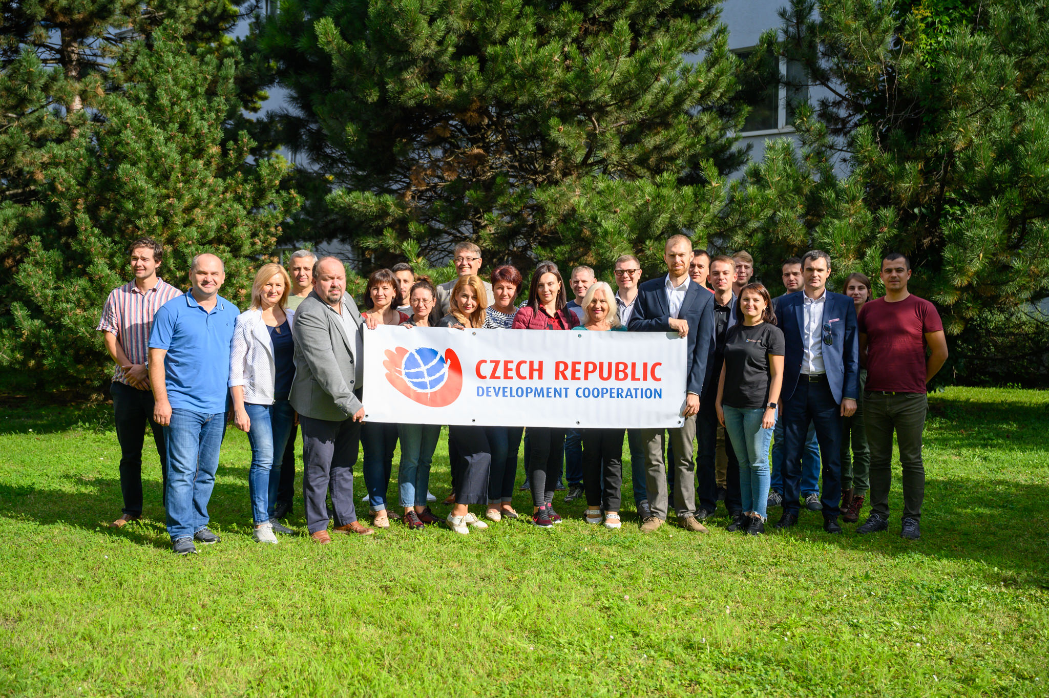
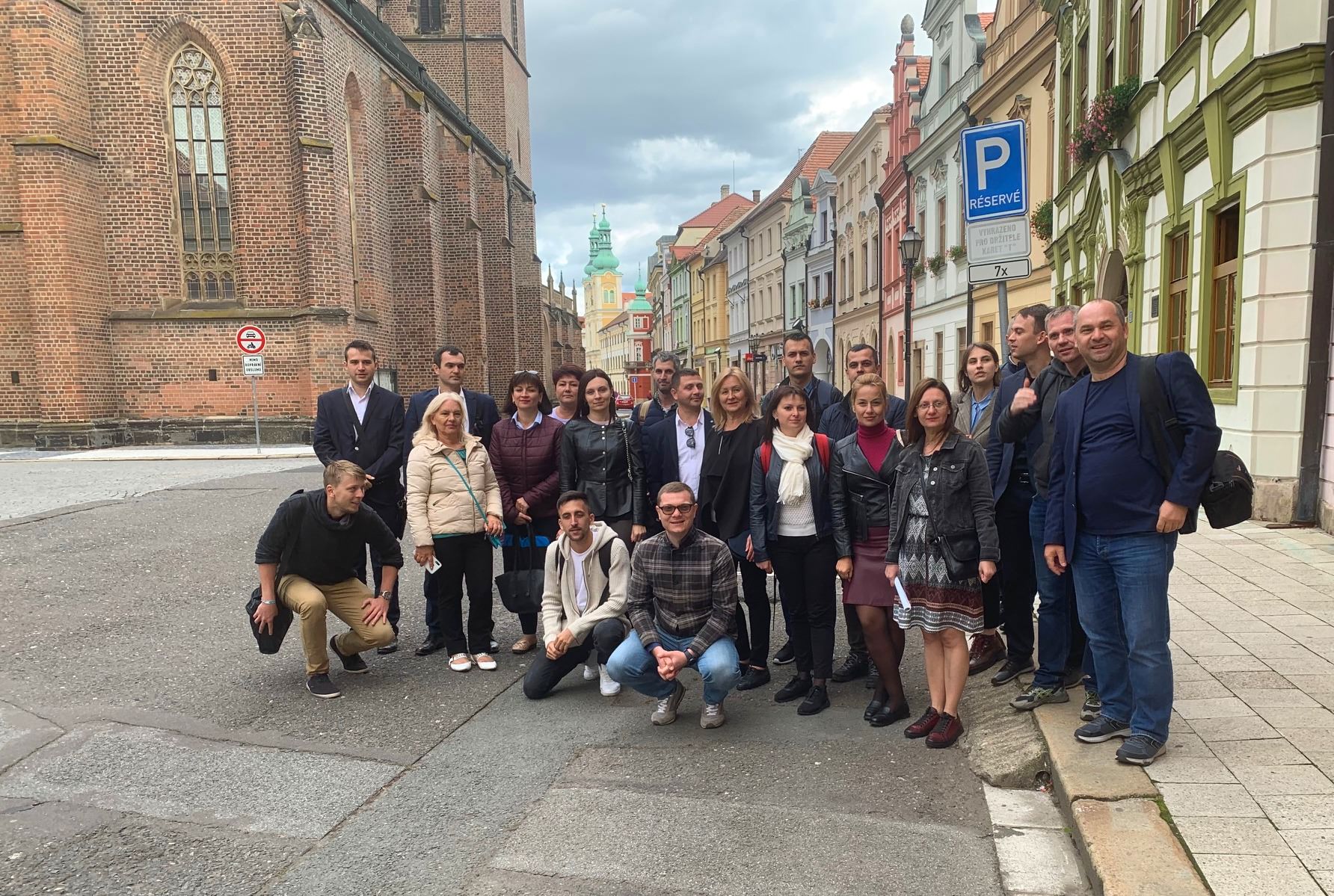
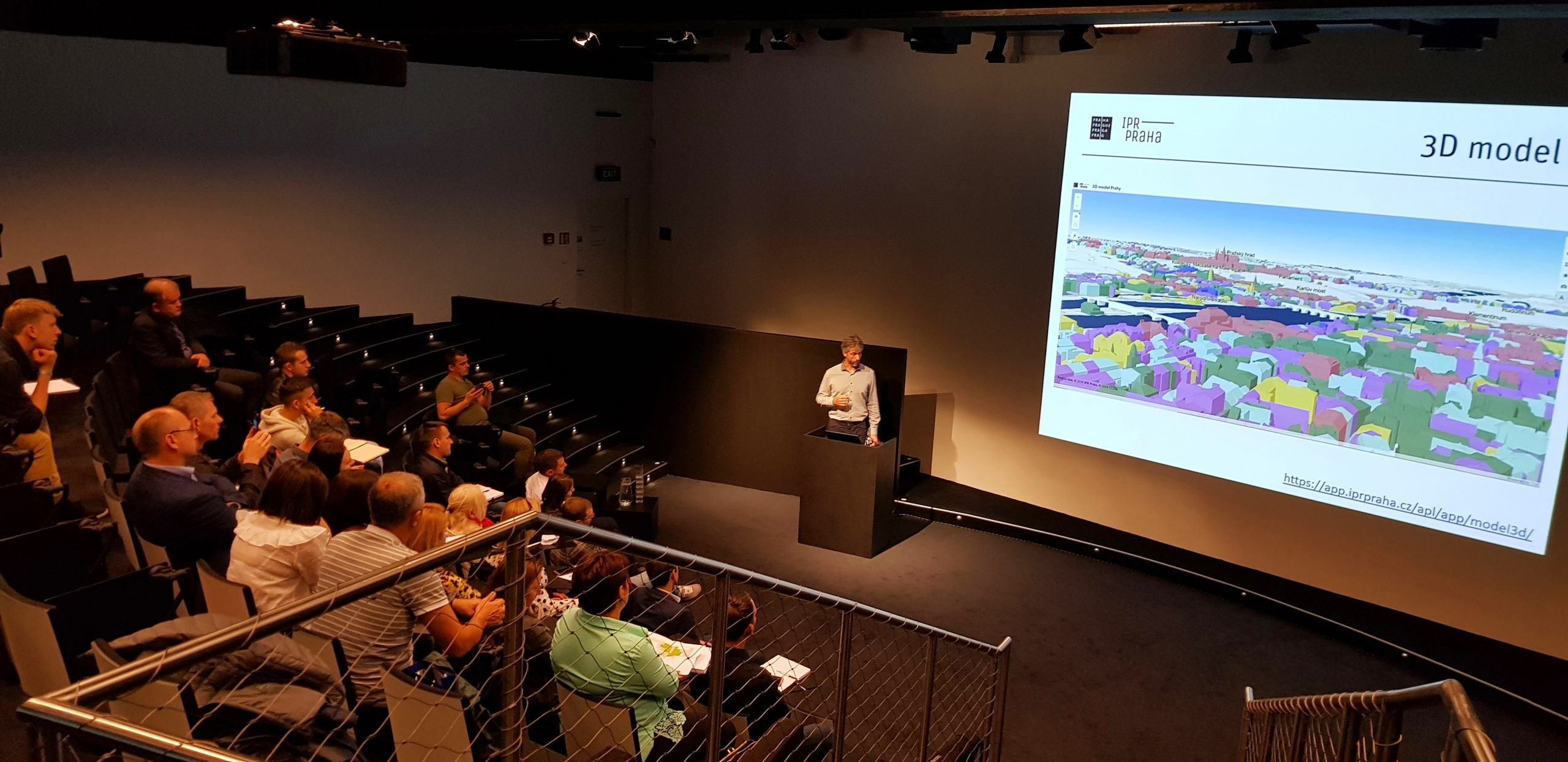
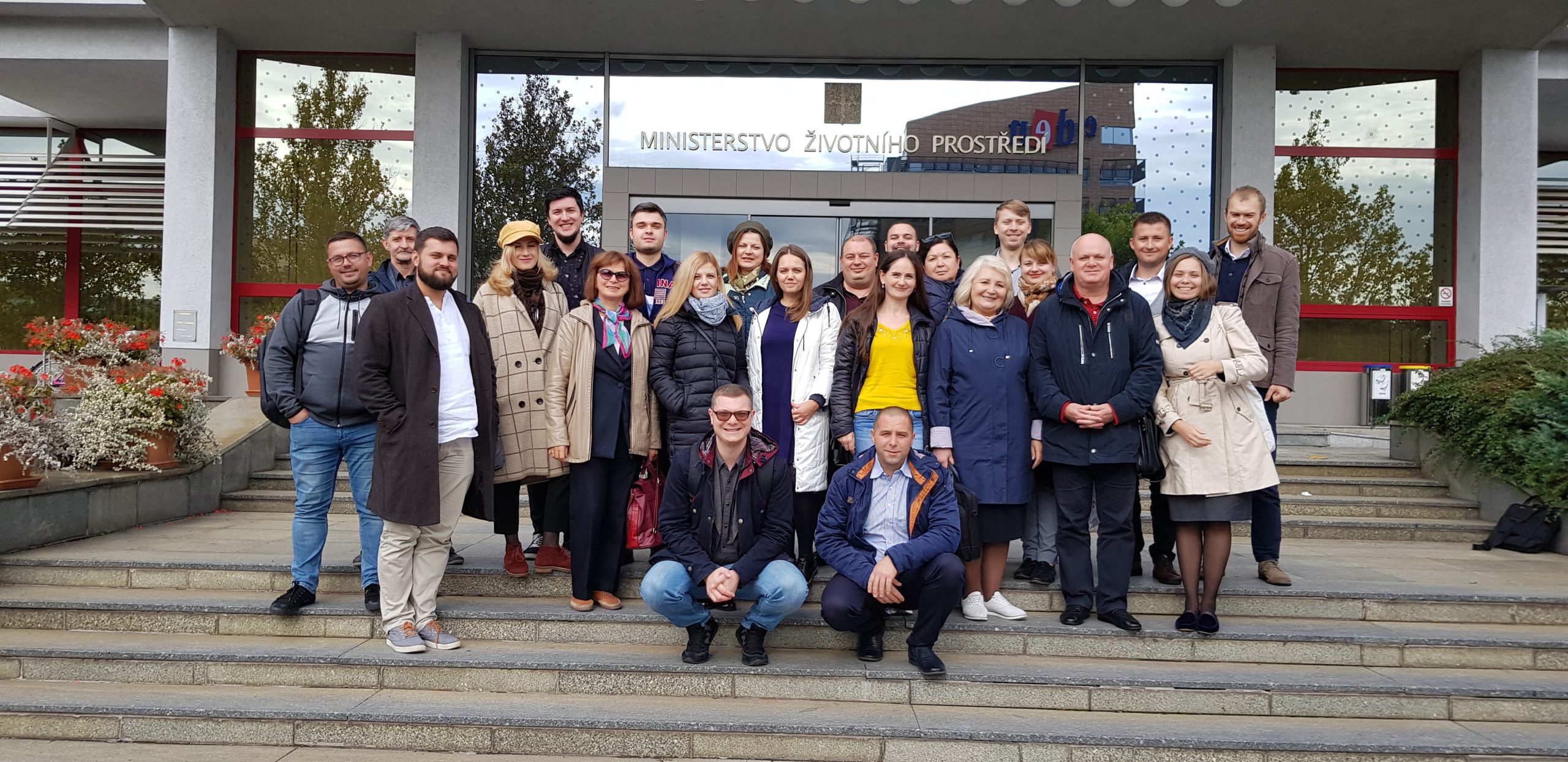
Another integral part of this project was conducting numerous GIS training sessions, under the wings of the GEOtest company. These continue to take place at regional agencies, the land cadaster agency, and the Ministry of agriculture, environment, and regional development. The training sessions culminated in a professional tour around the Czech Republic. In total, 42 Moldovan visitors travelled to Brno, Hradec Králové, and Prague. The institutions they visited included the Masaryk University, the Municipal Authority of Brno, the Municipal Authority of Hradec Králové, the Institute for Planning and Development of Prague, the Czech Information Agency for the Environment, and finally a visit to the Czech Development Agency.
The key outputs of the project include an analysis of legislative documents, methodologies, and binding documents. While analyzing the current state of the national spatial data infrastructure of Moldova, a total of six legal bottlenecks were discovered. The goal of the proposed legislative measures is to contribute to an increased quality of Moldovan legislation in the spatial data area. At the same time, the proposals for legislation revisions/amendments represent inputs for emerging Moldovan national strategy on spatial information.
